Freelance Map Design & Illustration
Illustrated maps are not only functional but also tell a story. They offer a personal, hand-crafted feel that resonates with customers, leaving a lasting impression.
Whether you’re looking to market your business, create bespoke event materials, or offer unique merchandise, illustrated maps are a versatile, creative, and impactful solution.
Illustrated maps in every format
Printed
Illustrated maps for print offer endless creative possibilities, whether on paper or unique items like tote bags and tea towels. Serving as both functional guides and decorative art, printed maps are perfect for gifts, souvenirs, or promotional materials, adding a personal touch and making them memorable keepsakes.
Digital
Digital illustrated maps are ideal for websites, online magazines, and email newsletters, engaging readers with vibrant visuals. Whether showcasing travel destinations or local attractions, these versatile maps seamlessly complement surrounding text and captivate audiences.
Interactive
All my maps are built using layers, meaning they can be a great starting point to create something interactive. Integrating interactive elements, such as hover effects, clickable icons, and zoom functions, users can explore the map in a dynamic way, uncovering detailed information, hidden illustrations, or animations as they navigate.
Always exploring
As someone who loves a good adventure, maps have always been one of my favourite projects to work on. They work for almost any subject matter and the spot illustrations can be pulled out and reused on other products or dotted through articles.
Rachel Akerman, has spent her most of her life in the Southwest of England, now living on the boarder of Somerset and Dorset with her little dog Chip. She graduated from Falmouth University with a First Class Degree in BA Illustration in 2017. She loves spending any freetime exploring the coast and countryside; camping, hiking and swimming.
Custom Illustrated Maps
for any Occasion
Great for: Sports events, Pride Events, Festivals, Farmer’s Markets, Parties
Event Map
An event map is an essential tool for showcasing the layout and flow of large gatherings like pride events, fundraisers, runs, and festivals. An illustrated event map not only provides functional navigation but also enhances the event’s branding and energy.
Tourism Maps
Illustrated tourism maps captivate travelers with a visually rich guide to holiday homes, tours, hotels, and local attractions. These maps can blend informative illustrations like key landmarks and scenic routes, with tourist highlights, like restaurants and shops, making them invaluable for guests.
Great for: Hotels, Holiday Homes, Campsites, Hostels, Airbnbs
Illustrated campus maps provide a visually captivating way to guide visitors through universities, colleges, and large educational institutions. Suitable for both printed and online use, these maps feature detailed illustrations of key buildings, dormitories, lecture halls, and dining areas, making navigation easy for students, staff, and visitors.
Great for: Holiday Parks, Universities, Colleges, Hospitals
Campus Maps
An illustrated map for wedding stationery, ensure your guests are well-informed while serving as a cherished keepsake. Whether online or printed, maps can guide guests to key locations like the ceremony venue, reception area, parking, and nearby accommodations.
Great for: Destination Weddings, Wedding Receptions, Churches
Wedding Stationery
Illustrated shopping centre maps are an excellent way to showcase the variety of shops, businesses, and amenities in both large malls and boutique centres. These vibrant maps highlight key areas like entrances, parking zones, restrooms, food courts, and popular stores, enhancing navigation for visitors. Perfect for printed directories and interactive digital platforms.
Great for: Businesses, Shops, Emporiums, Food Courts
Shopping Centres
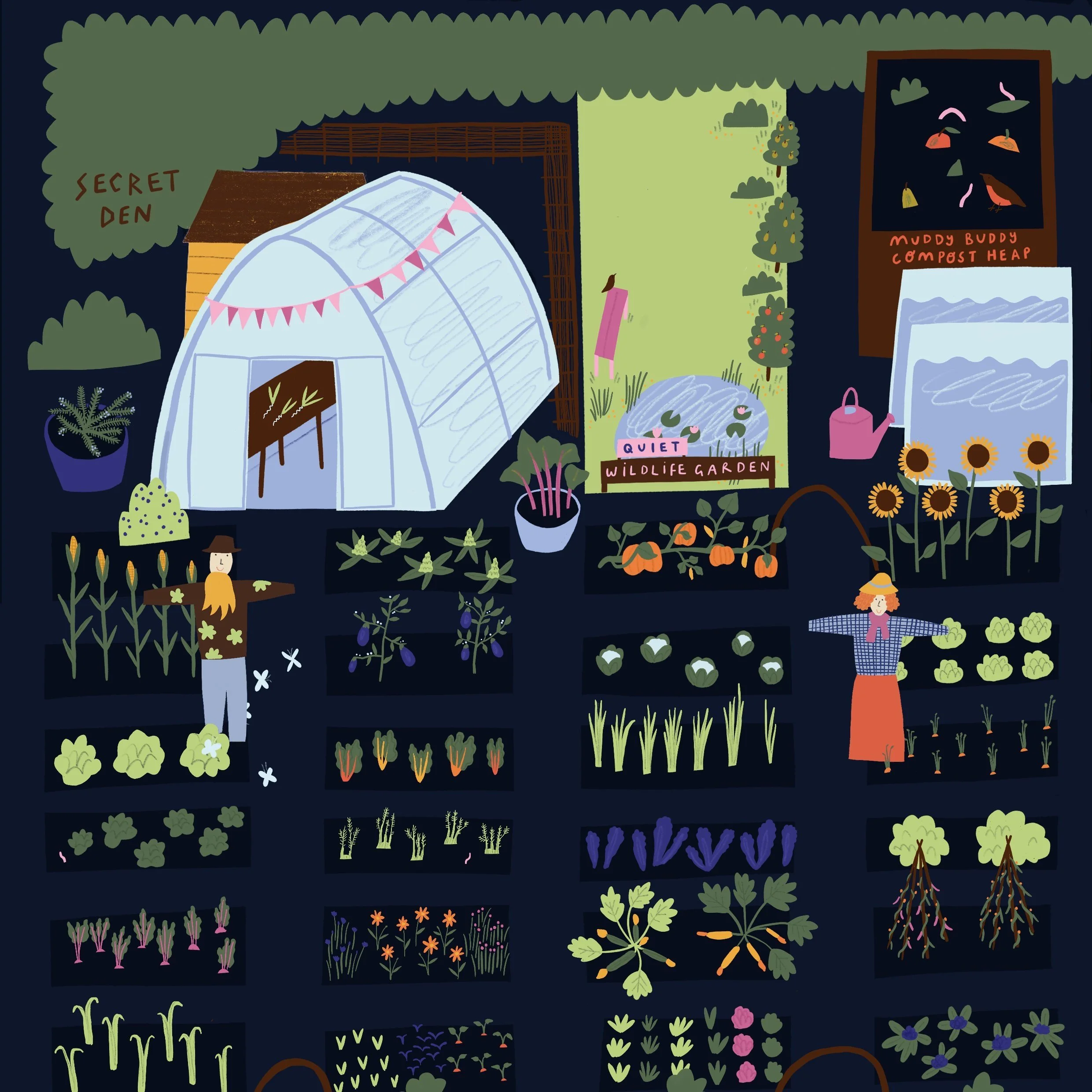
Maps on information boards are essential in outdoor locations like nature reserves and national parks, providing a visual and educational guide to the environment. Illustrated boards bring nature to life by highlighting local wildlife, plant species, geological formations, and hiking trails.
Great for: Nature Reserves, National Parks, Education Centres, Campsites
Information Boards
Illustrated maps for attractions like town centres, campuses, and arrival points provide a visually appealing and functional guide for visitors. Whether showcasing a historic town centre or mapping key buildings, these maps enhance the visitor experience.
Great for: Town Centres, City Centres, University Campuses, Campgrounds
Attractions
Editorial
Illustrated maps are a fantastic way to enhance magazine content, especially in travel features and guides. For travel magazines, these maps can highlight popular tourist spots and recommended routes, while food maps can spotlight local delicacies and culinary hotspots.
Great for: Travel & Lifestyle Magazine, Online blogs, Websites
Illustrated route and trail maps are a fun and creative way to showcase courses for fun runs, serious races, triathlons, and walks. These maps highlight key details like starting points, water stations, checkpoints, and finish lines, making navigation easy for participants. Whether it’s a marathon or a triathlon, illustrated maps bring energy to event materials while providing clear, engaging guidance.
Great for: Trail Running, Walks, Hikes, Campsites, Sports Events
Routes & Trail Maps
PAST PROJECTS
Explore the Endless Possibilities of Illustrated Maps
Illustrated maps are more than just functional tools—they can add personality to a wide range of products and materials. Whether you’re looking to create something memorable for your business, event, or organisation, custom maps offer a creative solution that captures the essence of your location, story, or theme.
Perfect for Stationairy
Illustrated maps make fantastic additions to invitations, guidebooks, and other printed materials for businesses, charities, and organizations. Whether you're welcoming guests to a special event, creating a memorable corporate guide, or offering visitors a beautiful map of your venue or city, these maps add an artistic flair while still providing practical information.
Merchandise That Stands Out
From tote bags and t-shirts to tea towels and mugs, illustrated maps can transform everyday items into one-of-a-kind pieces. Whether you’re promoting a local business, hosting a special event, or simply looking for unique merchandise, adding a custom map gives your products that personal touch. The possibilities are endless—if you can print on it, you can elevate it with an illustrated map!
Enhance Your Marketing Materials
Custom maps are also a great way to boost your marketing efforts. Imagine sending out emails, newsletters, or direct mail pieces featuring a beautifully crafted map of your business location or event venue. Even digital platforms like blogs and social media posts can benefit from the visual appeal of an illustrated map, making your content more engaging and shareable.
Got an idea?
Let’s talk.
Interested in working together? Fill out an enquiry form and I will be in touch shortly! I can't wait to hear from you! If you have a quick question you’d rather pop in an email, get in touch at hello@rachelakerman.co.uk.


